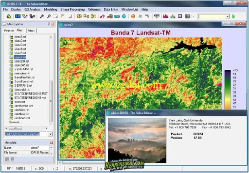
20121年1月26日IDRISI新版发布,这是自1987年以来的第17版,为IDRISI Selva。这个版本的IDRISI主要改进了土地变化模块Land Change Modeler和全球变化模块Earth Trends Modeler。同时还增加了新的分析技术、精确显示和地图制图要素,优化了输入、输出模块。
在IDRISI Selva 土地变化模块Land Change Modeler (LCM) 增加了REDD 子程序。REDD提供了计算一个REDD项目区域的CO2和非CO2的量的技术。这个程序包括经过审核的碳标准Verified Carbon Standard (VCS)支持的多种审查和批准方法。
IDRISI Selva 17.00
DRISI Selva is an integrated GIS and Image Processing software solution providing nearly 300 modules for the analysis and display of digital spatial information.
About Clark Labs
Clark Labs is dedicated to the research and development of geospatial technologies for effective and responsible decision making for environmental management, sustainable resource development and equitable resource allocation.
Clark Labs is best known for its flagship product, the IDRISI GIS and Image Processing software. Since 1987, IDRISI has been used by professionals in a wide range of industries in more than 180 countries worldwide. Environmental managers and researchers benefit from the unsurpassed range of geospatial tools—nearly 300 modules for the analysis and display of digital spatial information.
Overview
IDRISI offers the most extensive set of GIS and Image Processing tools in the industry in a single, affordable package. With IDRISI, all analytical features come standard—there is no need to buy costly add-ons to extend your research capabilities.
IDRISI Selva provides:
- A complete GIS analysis package for basic and advanced spatial analysis, including tools for surface and statistical analysis, decision support, and change and time series analysis
- A complete Image Processing system with the most extensive hard and soft classifers in the industry, including machine learning classifiers such as neural networks and classification tree analysis, as well as image segmentation for classification
- Integrated modeling environments including the Earth Trends Modeler for image time series of environmental trends and Land Change Modeler for land change analysis and prediction, a critical component for REDD projects
- Complete utilities for import and export along with a comprehensive set of documentation and tutorials.
115网盘永久+FTP迅雷高速地址:
发布日期: 2012-3-1